
IMAGE
Map of Taylor Ranch Item Info
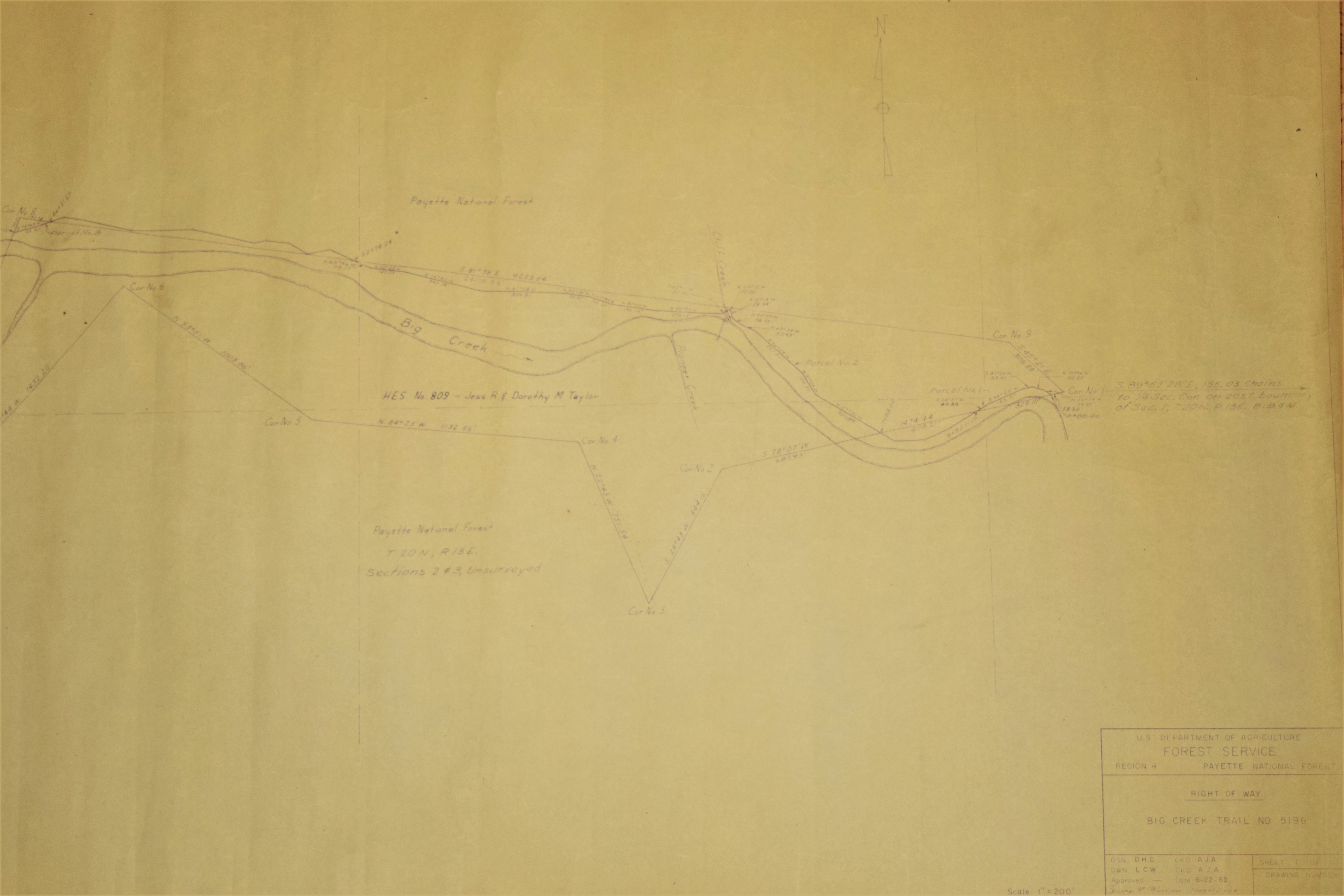
- Title:
- Map of Taylor Ranch
- Date Created:
- 22 June 1965
- Description:
- Map of Taylor Ranch issued by the Forest Service.
- Subjects:
- maps (documents)
- Latitude:
- 45.102402
- Longitude:
- -114.850242
- Source Identifier:
- DSC_0585
- Resource Type:
- artifacts
- Type:
- Image;StillImage
- Format:
- image/jpeg
Source
- Preferred Citation:
- "Map of Taylor Ranch", Taylor Wilderness Research Station Archive, University of Idaho Library Digital Initiatives
- Reference Link:
- https://www.lib.uidaho.edu/digital/taylor-archive/items/twrs675.html
Rights
- Rights:
- In Copyright, educational use permitted. Educational use includes non-commercial use of text and images in materials for teaching and research purposes. The University of Idaho Library is not liable for any violations of the law by users.