
IMAGE
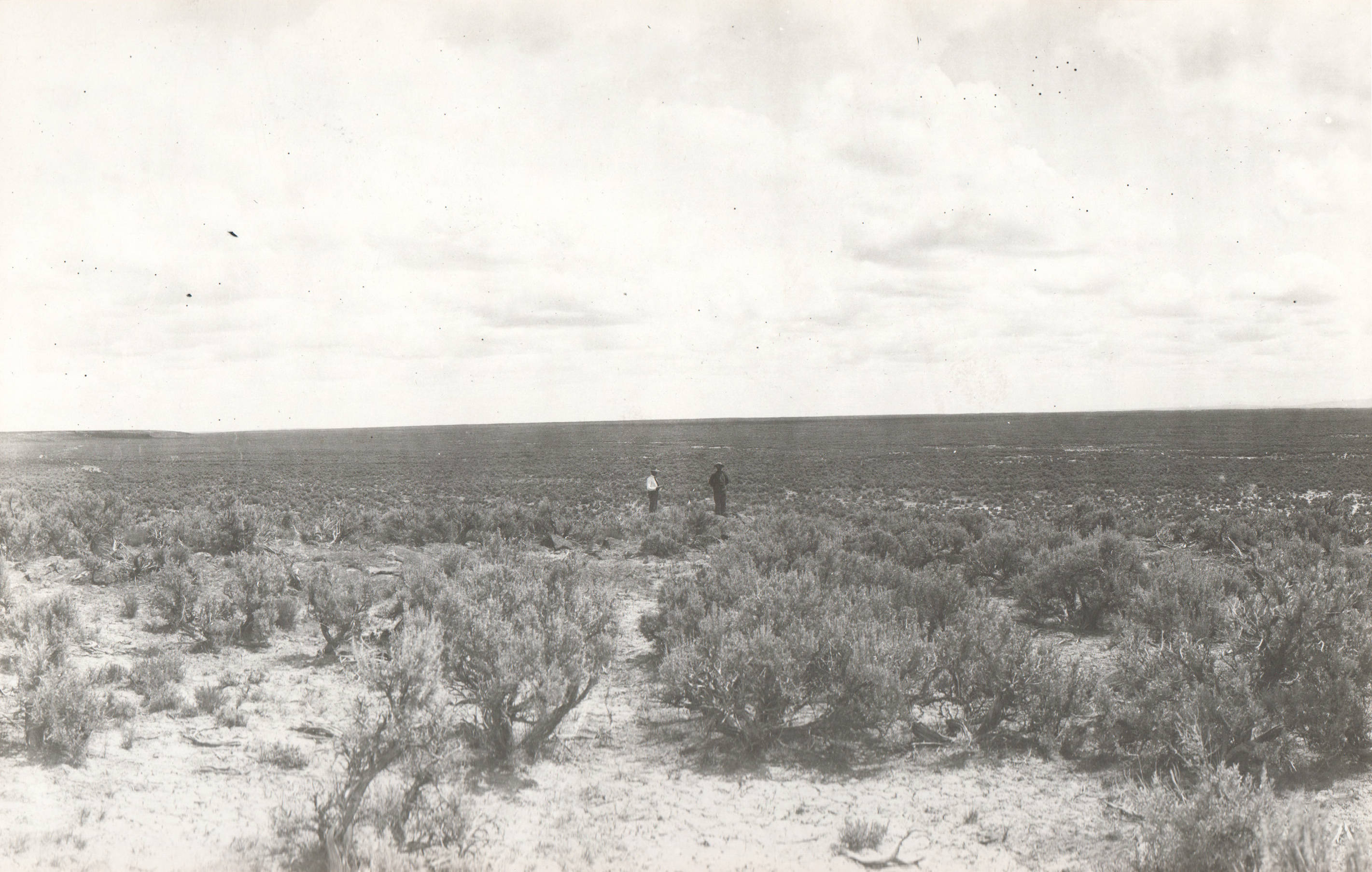
Irrigable lands near Starrahs Ferry, Idaho (Panoramic 1) Item Info
- Title:
- Irrigable lands near Starrahs Ferry, Idaho (Panoramic 1)
- Photographer:
- W.J.L.
- Date Created (ISO Standard):
- 1903
- Description:
- Note: This image is part of records for Bureau of Reclamation projects.
- Subjects:
- Bureau of Reclamation fields agriculture irrigation
- Location:
- Burley, Idaho
- Idaho County:
- Cassia County Minidoka County
- Latitude:
- 42.520124
- Longitude:
- -113.831947
- Source:
- NARA College Park; Still Photo Branch; RG 115 JO-Minidoka Project; Box 100
- Source Identifier:
- NARA16DC208
- Type:
- image;stillimage
- Format:
- image/jpeg
- Language:
- eng
U of I Digital Collections contain unique digitized and born digital archival materials in a variety of formats. The Library is committed to ensuring our resources are accessible to all users. Please contact us if you need support accessing or using this archived content.
Contact us about this record Library HelpAttribution
- Citation:
- "Irrigable lands near Starrahs Ferry, Idaho (Panoramic 1)", Archival Idaho Photograph Collection, University of Idaho Library Digital Collections, https://www.lib.uidaho.edu/digital/archivalidaho/items/archivalidaho10.html
Rights
- Rights:
- Material determined to be in Public Domain based on date of publication. Material made available by the University of Idaho Library. Please note these materials are not held by University of Idaho Library Special Collections and Archives. For more information, please contact the institution listed in the Source.
- Standardized Rights:
- https://creativecommons.org/publicdomain/mark/1.0/