
IMAGE
Grade up north side of Lewis-Clark valley Item Info
- Title:
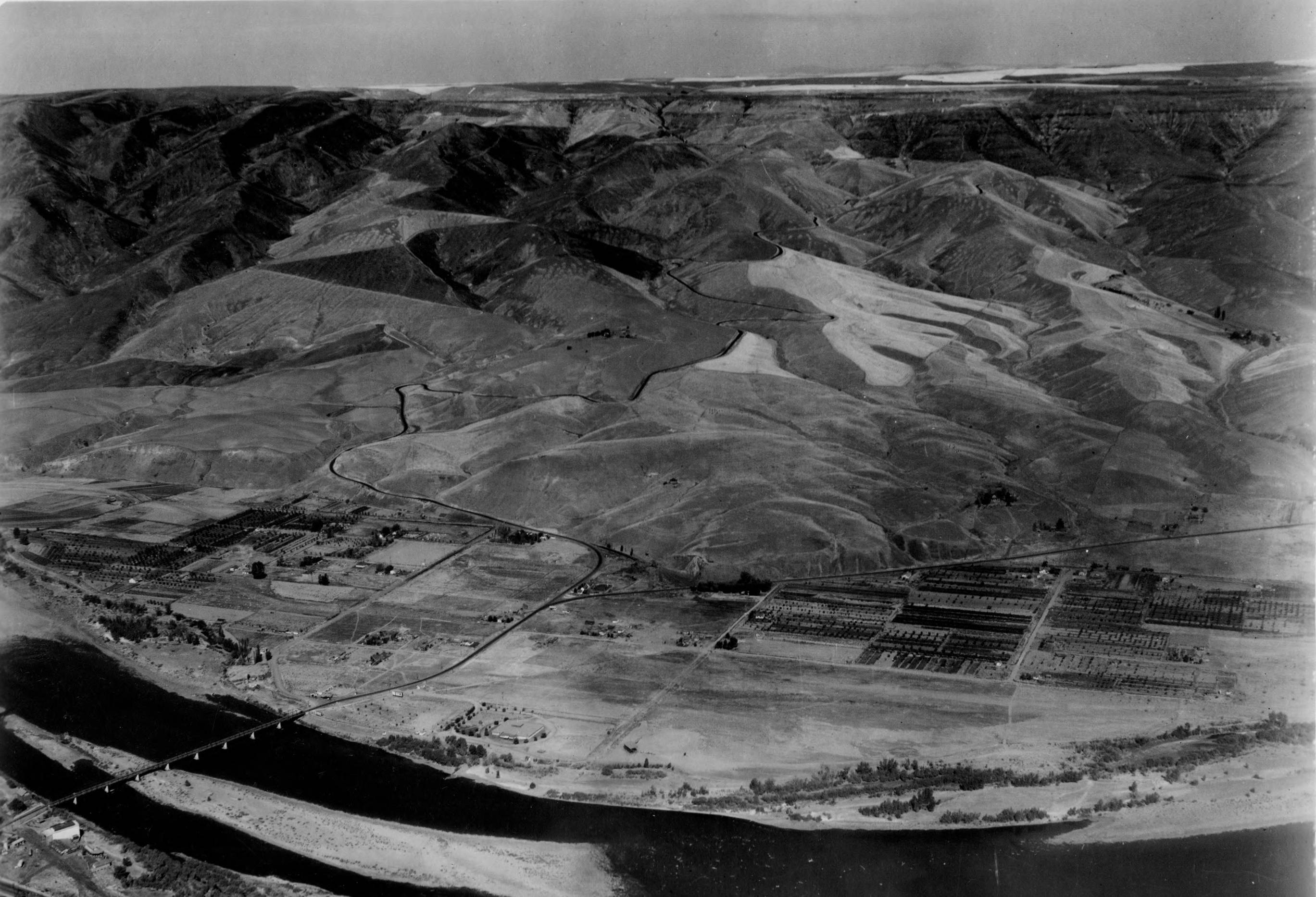
- Grade up north side of Lewis-Clark valley
- Photographer:
- Chief, Militia Bureau
- Date Created (ISO Standard):
- 1931
- Description:
- The Lewiston grade or Old Spiral Highway that was eventually replace by Highway 95 to the east.
- Subjects:
- cities towns aerial roads valley
- Location:
- Lewiston, Idaho
- Idaho County:
- Nez Perce County
- Latitude:
- 46.430095
- Longitude:
- -117.0075
- Source Identifier:
- NARA10StlPht43
- Type:
- image;stillimage
- Format:
- image/jpeg
- Language:
- eng
U of I Digital Collections contain unique digitized and born digital archival materials in a variety of formats. The Library is committed to ensuring our resources are accessible to all users. Please contact us if you need support accessing or using this archived content.
Contact us about this record Library HelpAttribution
- Citation:
- "Grade up north side of Lewis-Clark valley", Archival Idaho Photograph Collection, University of Idaho Library Digital Collections, https://www.lib.uidaho.edu/digital/archivalidaho/items/archivalidaho1030.html
Rights
- Rights:
- In Copyright - Educational Use Permitted. Please note these materials are not held by University of Idaho Library Special Collections and Archives. For more information, please contact the institution listed in the Source.
- Standardized Rights:
- http://rightsstatements.org/vocab/InC-EDU/1.0/