
IMAGE
Sandpoint, Idaho and Lake Pend Oreille shore, vertical aerial (P 832-33) Item Info
- Title:
- Sandpoint, Idaho and Lake Pend Oreille shore, vertical aerial (P 832-33)
- Date Created (ISO Standard):
- 1905-04-01
- Description:
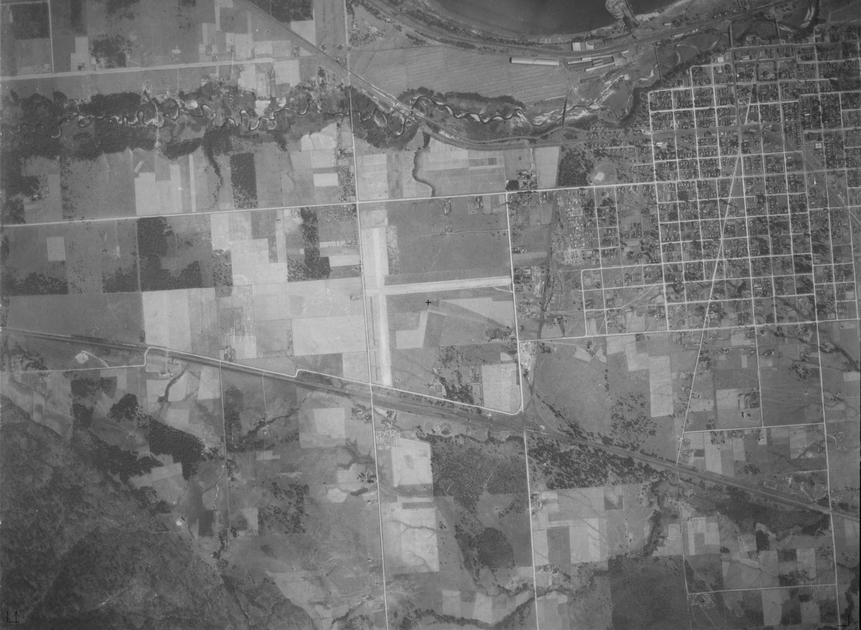
- Vertical aerial image north end of Sandpoint and Lake Pend Oreille near the outlet of the Pend Oreille River (2 of 2).
- Subjects:
- cities towns vertical aerial buildings lake
- Location:
- Sandpoint, Idaho
- Idaho County:
- Bonner County
- Latitude:
- 48.27659
- Longitude:
- -116.55325
- Source Identifier:
- NARA10StlPht36
- Type:
- image;stillimage
- Format:
- image/jpeg
- Language:
- eng
U of I Digital Collections contain unique digitized and born digital archival materials in a variety of formats. The Library is committed to ensuring our resources are accessible to all users. Please contact us if you need support accessing or using this archived content.
Contact us about this record Library HelpAttribution
- Citation:
- "Sandpoint, Idaho and Lake Pend Oreille shore, vertical aerial (P 832-33)", Archival Idaho Photograph Collection, University of Idaho Library Digital Collections, https://www.lib.uidaho.edu/digital/archivalidaho/items/archivalidaho1087.html
Rights
- Rights:
- Material determined to be in Public Domain based on date of publication. Material made available by the University of Idaho Library. Please note these materials are not held by University of Idaho Library Special Collections and Archives. For more information, please contact the institution listed in the Source.
- Standardized Rights:
- https://creativecommons.org/publicdomain/mark/1.0/