
IMAGE
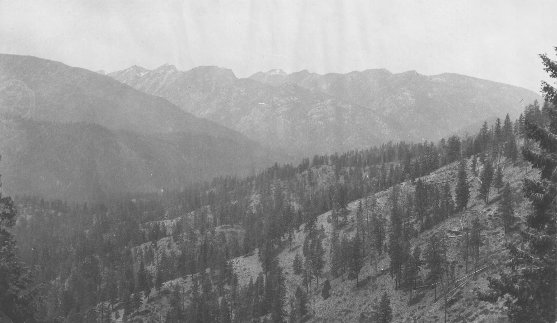
Bull pine forest on South Fork of Salmon River Item Info
- Title:
- Bull pine forest on South Fork of Salmon River
- Photographer:
- Benedict, R.E.
- Date Created (ISO Standard):
- 1904
- Description:
- Photo text: '3,00 to 4,00 feet to acre. Lick Creek Canyon in distance.' This is image is part of a report on the proposed Payette Forest Reserve by R.E. Benedict, 1904.
- Subjects:
- national forests mountains surveys rivers forests meadows creeks canyons
- Location:
- Payette National Forest, Idaho
- Idaho County:
- Valley County
- Latitude:
- 45.058249
- Longitude:
- -115.630877
- Source:
- R-4 History Files Idaho NF Boundans Box 87
- Source Identifier:
- OGDEN129
- USFS Number:
- 42461
- Type:
- image;stillimage
- Format:
- image/jpeg
- Language:
- eng
U of I Digital Collections contain unique digitized and born digital archival materials in a variety of formats. The Library is committed to ensuring our resources are accessible to all users. Please contact us if you need support accessing or using this archived content.
Contact us about this record Library HelpAttribution
- Citation:
- "Bull pine forest on South Fork of Salmon River", Archival Idaho Photograph Collection, University of Idaho Library Digital Collections, https://www.lib.uidaho.edu/digital/archivalidaho/items/archivalidaho1144.html
Rights
- Rights:
- Material determined to be in Public Domain based on date of publication. Material made available by the University of Idaho Library. Please note these materials are not held by University of Idaho Library Special Collections and Archives. For more information, please contact the institution listed in the Source.
- Standardized Rights:
- https://creativecommons.org/publicdomain/mark/1.0/