
IMAGE
Aerial view of Sawtooth Range Item Info
- Title:
- Aerial view of Sawtooth Range
- Photographer:
- Prater, L.
- Date Created (ISO Standard):
- 1964
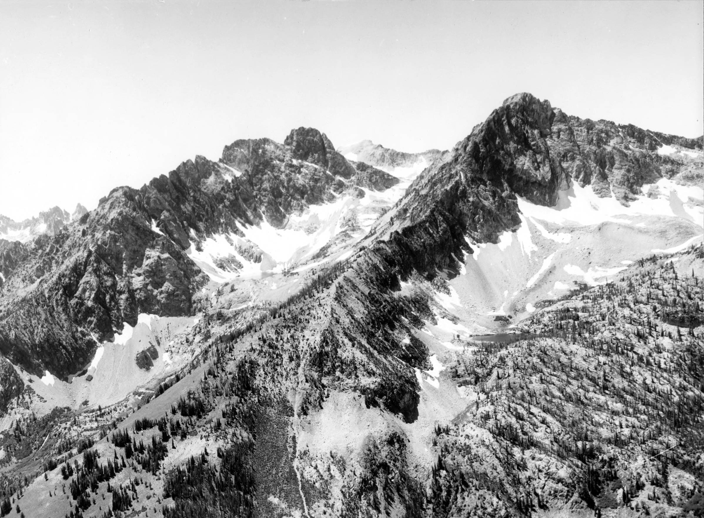
- Description:
- Photo text: 'Thompson Peak is in the center left of photo. Prominent peak and lake on right have no official names.'
- Subjects:
- national forests mountains ridges peaks landscapes aerials
- Location:
- Sawtooth National Forest, Idaho
- Idaho County:
- Custer County
- Features:
- Thompson Peak
- Latitude:
- 44.14129
- Longitude:
- -115.01009
- Source:
- NARA College Park; RG 95; GP Series; Box 158
- Source Identifier:
- NARA0815DC113
- USFS Number:
- 511098
- Type:
- image;stillimage
- Format:
- image/jpeg
- Language:
- eng
U of I Digital Collections contain unique digitized and born digital archival materials in a variety of formats. The Library is committed to ensuring our resources are accessible to all users. Please contact us if you need support accessing or using this archived content.
Contact us about this record Library HelpAttribution
- Citation:
- "Aerial view of Sawtooth Range", Archival Idaho Photograph Collection, University of Idaho Library Digital Collections, https://www.lib.uidaho.edu/digital/archivalidaho/items/archivalidaho167.html
Rights
- Rights:
- In Copyright - Educational Use Permitted. Please note these materials are not held by University of Idaho Library Special Collections and Archives. For more information, please contact the institution listed in the Source.
- Standardized Rights:
- http://rightsstatements.org/vocab/InC-EDU/1.0/