
IMAGE
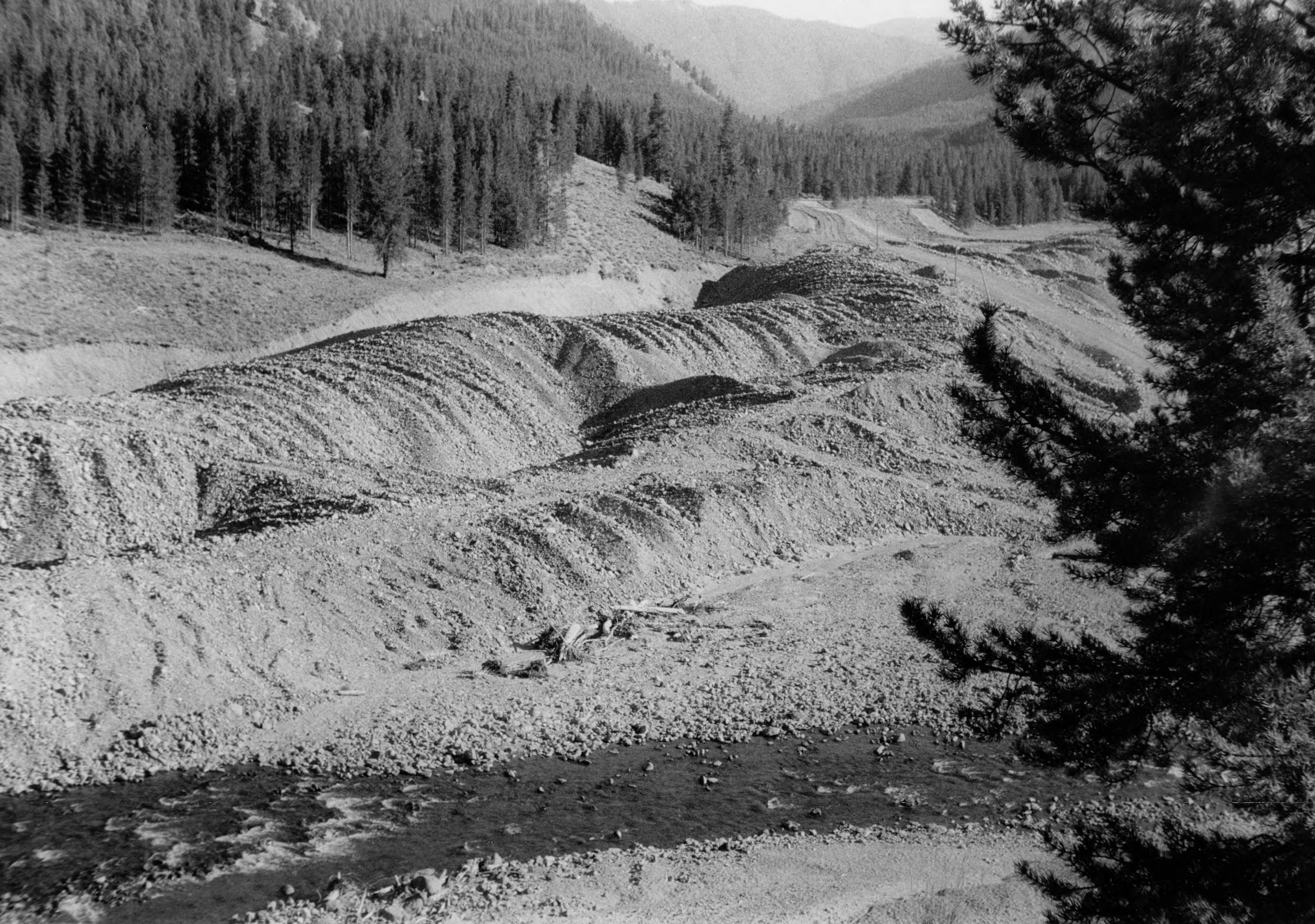
Aerial images of Bear Valley and March Creek 6 Item Info
- Title:
- Aerial images of Bear Valley and March Creek 6
- Date Created (ISO Standard):
- 1955
- Description:
- Aerial images of Bear Valley and March Creek 6
- Subjects:
- national forests aerials valleys creeks
- Location:
- Boise National Forest, Idaho
- Idaho County:
- Valley County
- Features:
- Bear Valley Salmon River
- Latitude:
- 44.426941
- Longitude:
- -115.27615
- Source:
- NARA College Park; RG 22 E 261 Fish and Wildlife Series; Biological Survey Photos; River Basin Studies; Box 434 Salmon River
- Source Identifier:
- NARA0815DC137
- Type:
- image;stillimage
- Format:
- image/jpeg
- Language:
- eng
U of I Digital Collections contain unique digitized and born digital archival materials in a variety of formats. The Library is committed to ensuring our resources are accessible to all users. Please contact us if you need support accessing or using this archived content.
Contact us about this record Library HelpAttribution
- Citation:
- "Aerial images of Bear Valley and March Creek 6", Archival Idaho Photograph Collection, University of Idaho Library Digital Collections, https://www.lib.uidaho.edu/digital/archivalidaho/items/archivalidaho180.html
Rights
- Rights:
- In Copyright - Educational Use Permitted. Please note these materials are not held by University of Idaho Library Special Collections and Archives. For more information, please contact the institution listed in the Source.
- Standardized Rights:
- http://rightsstatements.org/vocab/InC-EDU/1.0/