
IMAGE
Burned area at Lodgepole Point, Chamberlain Item Info
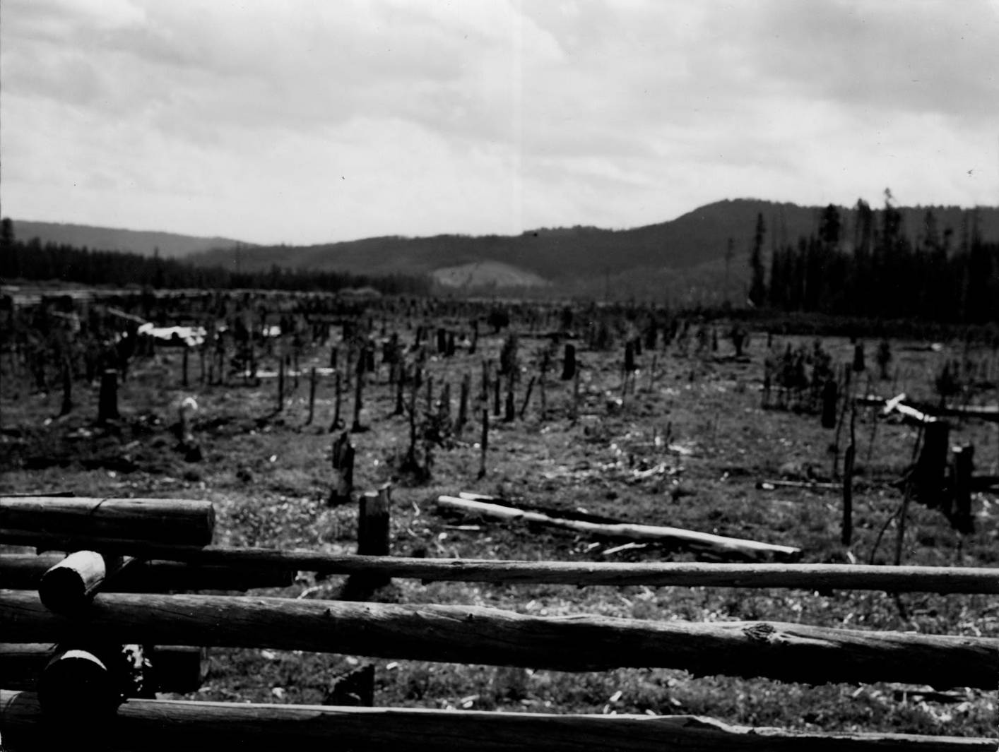
- Title:
- Burned area at Lodgepole Point, Chamberlain
- Date Created (ISO Standard):
- 1930
- Description:
- Photo text: 'Burned areas. Chamberlain, ID -- looking east at Lodgepole Point'
- Subjects:
- burns fires fencing fences national forests
- Location:
- Payette National Forest, Idaho
- Idaho County:
- Idaho County
- Latitude:
- 45.367486
- Longitude:
- -115.165385
- Source Identifier:
- Payette43
- Type:
- image;stillimage
- Format:
- image/jpeg
- Language:
- eng
U of I Digital Collections contain unique digitized and born digital archival materials in a variety of formats. The Library is committed to ensuring our resources are accessible to all users. Please contact us if you need support accessing or using this archived content.
Contact us about this record Library HelpAttribution
- Citation:
- "Burned area at Lodgepole Point, Chamberlain", Archival Idaho Photograph Collection, University of Idaho Library Digital Collections, https://www.lib.uidaho.edu/digital/archivalidaho/items/archivalidaho360.html
Rights
- Rights:
- In Copyright - Educational Use Permitted. Please note these materials are not held by University of Idaho Library Special Collections and Archives. For more information, please contact the institution listed in the Source.
- Standardized Rights:
- http://rightsstatements.org/vocab/InC-EDU/1.0/