
IMAGE
Erosion Control, Lawyer's Creek Item Info
- Title:
- Erosion Control, Lawyer's Creek
- Photographer:
- Wing, H.R.
- Date Created (ISO Standard):
- 1941
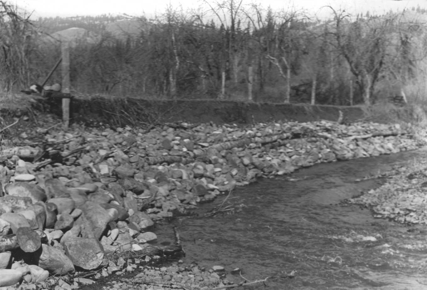
- Description:
- Photo text: 'Nez Perce Reservation. Erosion Control Lawyer's Creek Project No. 158. Erosion line along bank in edge of orchard can be seen.' Note: This image is part of a narrative pictoral report to accompany quarterly enrollee program report.
- Subjects:
- CCC Civilian Conservation Corps Indian division tribes reservations Nez Perce tribes enrollees reservations erosion creek
- Location:
- Lawyer Creek, Idaho Nez Perce Reservation, Idaho
- Idaho County:
- Idaho County
- Latitude:
- 46.166851
- Longitude:
- -116.305231
- Source:
- NARA DC; RG 75; E 1004 CCC - Indian Division; Box 4; North Idaho
- Source Identifier:
- NARA16DC11b
- Type:
- image;stillimage
- Format:
- image/jpeg
- Language:
- eng
U of I Digital Collections contain unique digitized and born digital archival materials in a variety of formats. The Library is committed to ensuring our resources are accessible to all users. Please contact us if you need support accessing or using this archived content.
Contact us about this record Library HelpAttribution
- Citation:
- "Erosion Control, Lawyer's Creek", Archival Idaho Photograph Collection, University of Idaho Library Digital Collections, https://www.lib.uidaho.edu/digital/archivalidaho/items/archivalidaho363.html
Rights
- Rights:
- In Copyright - Educational Use Permitted. Please note these materials are not held by University of Idaho Library Special Collections and Archives. For more information, please contact the institution listed in the Source.
- Standardized Rights:
- http://rightsstatements.org/vocab/InC-EDU/1.0/