
IMAGE
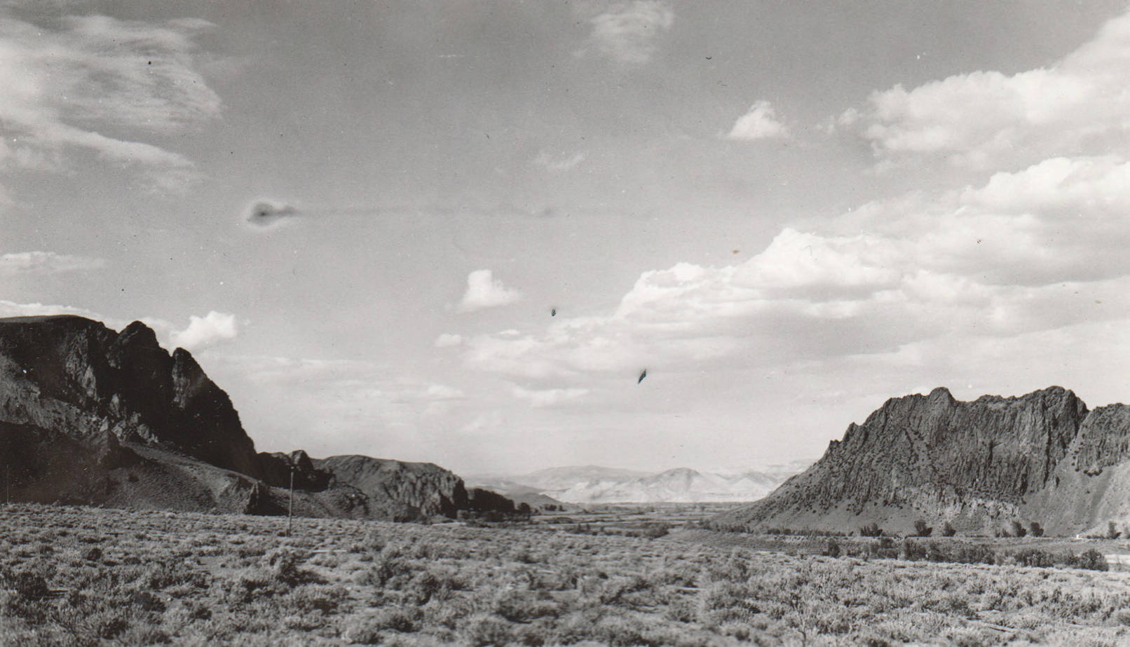
Upper end of Challis Basin Item Info
- Title:
- Upper end of Challis Basin
- Date Created (ISO Standard):
- 1939
- Description:
- This image is part of a Rivers and Harbors series.
- Subjects:
- national forests mountains rivers landscapes
- Location:
- Challis, Idaho
- Idaho County:
- Custer County
- Latitude:
- 44.55448
- Longitude:
- -114.189014
- Source:
- NARA College Park; Still Photo Branch
- Source Identifier:
- SalmonR18a
- USFS Number:
- 1059
- Type:
- image;stillimage
- Format:
- image/jpeg
- Language:
- eng
U of I Digital Collections contain unique digitized and born digital archival materials in a variety of formats. The Library is committed to ensuring our resources are accessible to all users. Please contact us if you need support accessing or using this archived content.
Contact us about this record Library HelpAttribution
- Citation:
- "Upper end of Challis Basin", Archival Idaho Photograph Collection, University of Idaho Library Digital Collections, https://www.lib.uidaho.edu/digital/archivalidaho/items/archivalidaho622.html
Rights
- Rights:
- In Copyright - Educational Use Permitted. Please note these materials are not held by University of Idaho Library Special Collections and Archives. For more information, please contact the institution listed in the Source.
- Standardized Rights:
- http://rightsstatements.org/vocab/InC-EDU/1.0/