
IMAGE
Lewis and Clark Highway Project Item Info
- Title:
- Lewis and Clark Highway Project
- Date Created (ISO Standard):
- 1950
- Description:
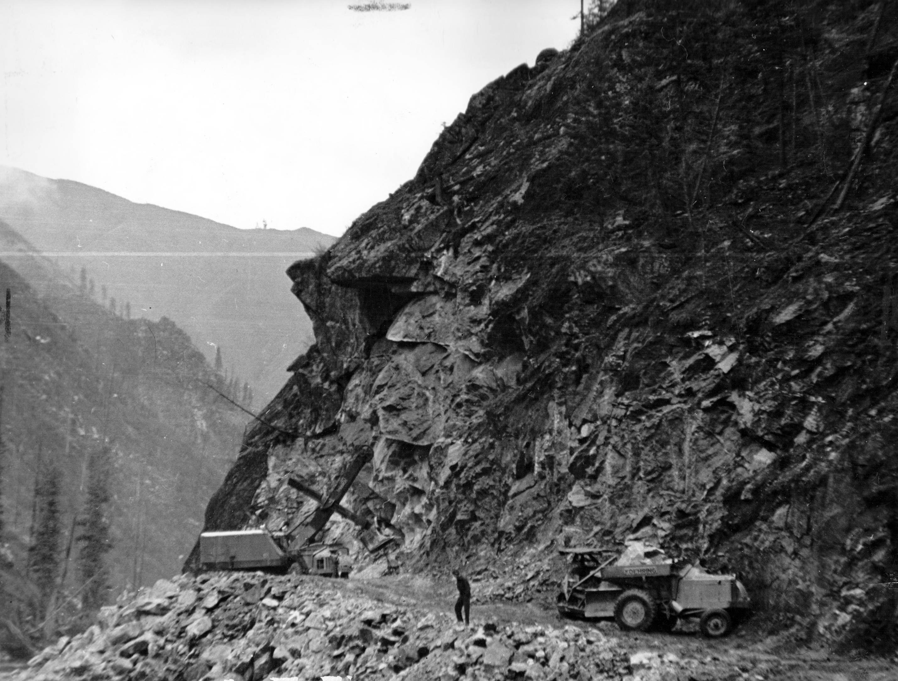
- Photo text: 'The Lewis and Clark Highway Project. This was a six mile unit of a proposed road that would connect North Central Idaho with Missoula, Montana. It lies through a primitive area and as illustrated in the picture, a rocky one.' This image is part of a USFS series labelled 'American Guide'.
- Subjects:
- national forests lakes mountains landscapes highways roads
- Location:
- Lolo, Montana
- Latitude:
- 46.75685
- Longitude:
- -114.109967
- Source Identifier:
- WPA7
- Type:
- image;stillimage
- Format:
- image/jpeg
- Language:
- eng
U of I Digital Collections contain unique digitized and born digital archival materials in a variety of formats. The Library is committed to ensuring our resources are accessible to all users. Please contact us if you need support accessing or using this archived content.
Contact us about this record Library HelpAttribution
- Citation:
- "Lewis and Clark Highway Project", Archival Idaho Photograph Collection, University of Idaho Library Digital Collections, https://www.lib.uidaho.edu/digital/archivalidaho/items/archivalidaho642.html
Rights
- Rights:
- In Copyright - Educational Use Permitted. Please note these materials are not held by University of Idaho Library Special Collections and Archives. For more information, please contact the institution listed in the Source.
- Standardized Rights:
- http://rightsstatements.org/vocab/InC-EDU/1.0/