
IMAGE
Middle Fork of Salmon, 1/2 mile from Mahoney Field Item Info
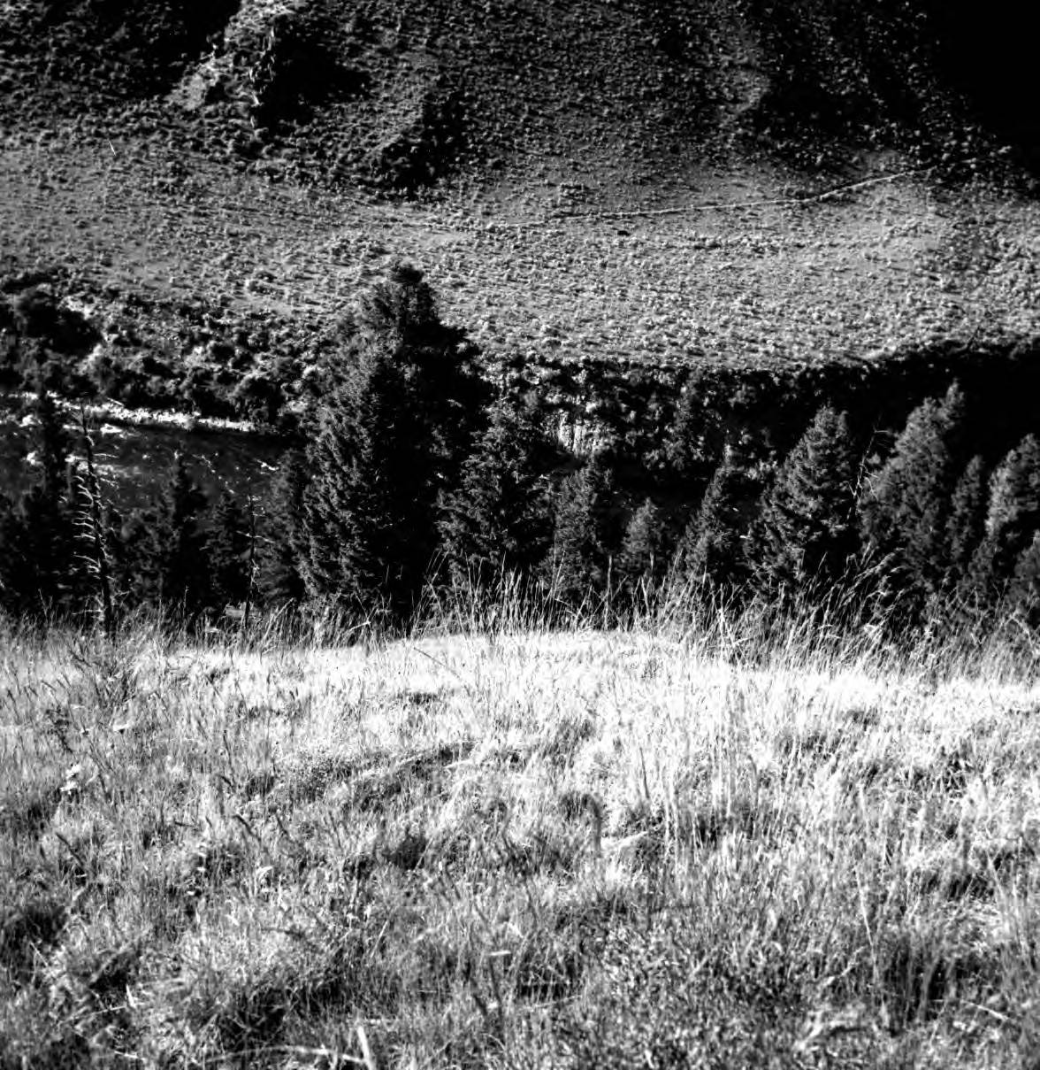
- Title:
- Middle Fork of Salmon, 1/2 mile from Mahoney Field
- Photographer:
- Wadley, H.
- Date Created (ISO Standard):
- 1964
- Description:
- Photo text: 'Looking down ridge finger to Middle Fork approximately 1/2 miles from Mahoney Field. June 22, 1964.'
- Subjects:
- national forests ridges creeks landscapes
- Location:
- Salmon-Challis National Forest, Idaho
- Idaho County:
- Custer County
- Latitude:
- 44.736762
- Longitude:
- -114.913627
- Source Identifier:
- Sal13Chal155
- Type:
- image;stillimage
- Format:
- image/jpeg
- Language:
- eng
U of I Digital Collections contain unique digitized and born digital archival materials in a variety of formats. The Library is committed to ensuring our resources are accessible to all users. Please contact us if you need support accessing or using this archived content.
Contact us about this record Library HelpAttribution
- Citation:
- "Middle Fork of Salmon, 1/2 mile from Mahoney Field", Archival Idaho Photograph Collection, University of Idaho Library Digital Collections, https://www.lib.uidaho.edu/digital/archivalidaho/items/archivalidaho989.html
Rights
- Rights:
- In Copyright - Educational Use Permitted. Please note these materials are not held by University of Idaho Library Special Collections and Archives. For more information, please contact the institution listed in the Source.
- Standardized Rights:
- http://rightsstatements.org/vocab/InC-EDU/1.0/