
IMAGE
Upper Barr's Dry Gulch Item Info
- Title:
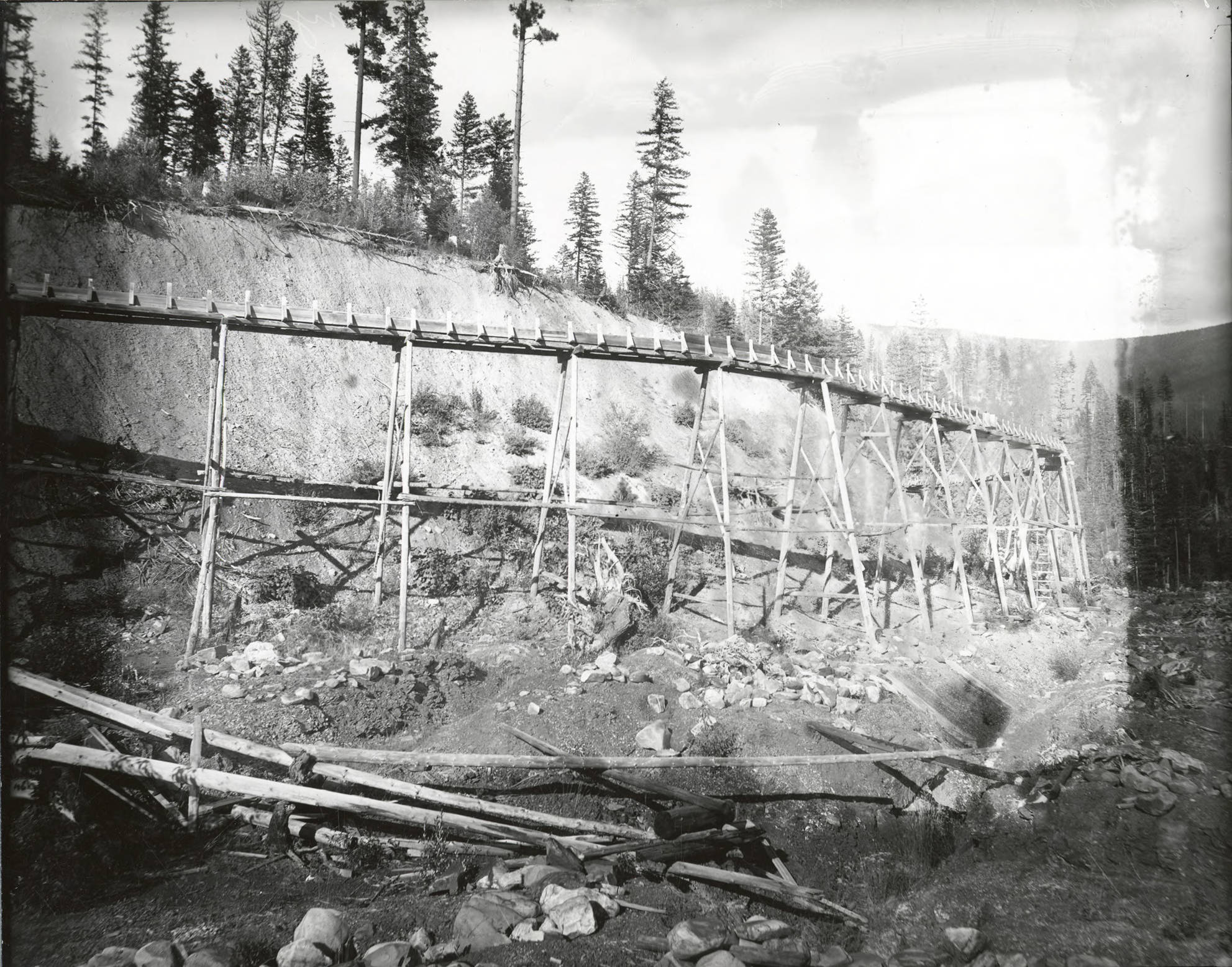
- Upper Barr's Dry Gulch
- Photographer:
- Barnard Studio (Wallace, Idaho)
- Date Created (ISO Standard):
- 1897
- Description:
- North side, Coeur d'Alene Mining District (Murray area). The flume is traveling around the natural curve of the land
- Subjects:
- mining valleys (landforms) flumes gold mining
- Location:
- Murray, Idaho
- Idaho County:
- Shoshone County
- Latitude:
- 47.612966
- Longitude:
- -115.827393
- Source:
- Barnard-Stockbridge photograph collection, 1894-1964, PG 8-2, University of Idaho Library Special Collections and Archives
- Finding Aid:
- https://archiveswest.orbiscascade.org/ark:80444/xv407875?
- Source Identifier:
- N39
- Type:
- Image;StillImage
- Format Original:
- 8x10 black and white glass negative
- Format:
- image/jpeg
- Language:
- eng
U of I Digital Collections contain unique digitized and born digital archival materials in a variety of formats. The Library is committed to ensuring our resources are accessible to all users. Please contact us if you need support accessing or using this archived content.
Contact us about this record Library HelpAttribution
- Citation:
- "Upper Barr's Dry Gulch", Barnard-Stockbridge Photograph Collection, University of Idaho Library Digital Collections, https://www.lib.uidaho.edu/digital/barstock/items/barstock3625.html
Rights
- Rights:
- Material has likely passed into public domain. Digital reproductions are made available by University of Idaho Library for educational purposes, and future use should acknowledge this repository. For more information, please contact University of Idaho Library Special Collections and Archives Department at libspec@uidaho.edu. The University of Idaho Library is not liable for any violations of the law by users.
- Standardized Rights:
- http://rightsstatements.org/vocab/NoC-US/1.0/