
PDF
Drawn map of Central and West Mexico, Spence, and Weigand Item Info
- Title:
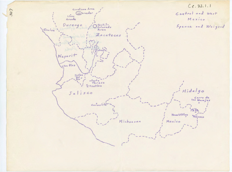
- Drawn map of Central and West Mexico, Spence, and Weigand
- Archival Date:
- N/A
- Description:
- Drawn map of central and west Mexico, Spence, and Weigand. There is a handwritten note on the back of the paper.
- Subjects:
- maps notes illustration
- Location:
- Mexico
- Latitude:
- 24.09827611
- Longitude:
- -102.2894223
- Source Identifier:
- CE_B32_F1-Item1
- Source:
- Donald E. Crabtree Lithic Technology Collection, Alfred W. Bowers Laboratory of Anthropology, University of Idaho
- Language:
- eng
- Original format:
- map
- Type:
- Image;StillImage
- Format:
- application/pdf
U of I Digital Collections contain unique digitized and born digital archival materials in a variety of formats. The Library is committed to ensuring our resources are accessible to all users. Please contact us if you need support accessing or using this archived content.
Contact us about this record Library HelpAttribution
- Citation:
- "Drawn map of Central and West Mexico, Spence, and Weigand", Donald E. Crabtree Lithic Technology Collection, University of Idaho Library Digital Collections, https://www.lib.uidaho.edu/digital/crabtree/items/ce_b32_f1-item1.html
Rights
- Rights:
- In Copyright
- Standardized Rights:
- http://rightsstatements.org/vocab/InC-EDU/1.0/