
PDF
Kaniksu National Forest Timber Inventory Map T63N R2E BM Item Info
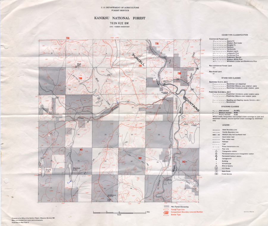
- Title:
- Kaniksu National Forest Timber Inventory Map T63N R2E BM
- Creator:
- US Department of Agriculture Forest Service
- Date Created (ISO Standard):
- 1961
- Description:
- A timber inventory map of Kaniksu National Forest. Map number T63N R2E BM.
- Subjects:
- maps forestry maps forests (plant communities)
- Location:
- Kaniksu National Forest
- Idaho County:
- Bonner County
- Latitude:
- 48.3359
- Longitude:
- -116.171
- Publisher:
- US Department of Agriculture Forest Service
- Source:
- John A. Schenk Papers (MG376)
- Source Identifier:
- MG376_F22_M5
- Type:
- Image;StillImage
- Format:
- application/pdf
- Language:
- eng
U of I Digital Collections contain unique digitized and born digital archival materials in a variety of formats. The Library is committed to ensuring our resources are accessible to all users. Please contact us if you need support accessing or using this archived content.
Contact us about this record Library HelpAttribution
- Citation:
- "Kaniksu National Forest Timber Inventory Map T63N R2E BM", Idaho Forestry Research Collection, University of Idaho Library Digital Collections, http://localhost:4000/digital/forestryresearch/items/forestryresearch159.html
Rights
- Rights:
- In copyright, educational use permitted. Educational use includes non-commercial reproduction of text and images in materials for teaching and research purposes. For other contexts beyond fair use, including digital reproduction, please contact the University of Idaho Library Special Collections and Archives Department at libspec@uidaho.edu. The University of Idaho Library is not liable for any violations of the law by users.
- Standardized Rights:
- http://rightsstatements.org/vocab/InC-EDU/1.0/