Idaho Historical Maps Collection
Regional Maps from 1863 - 1986
About the Collection
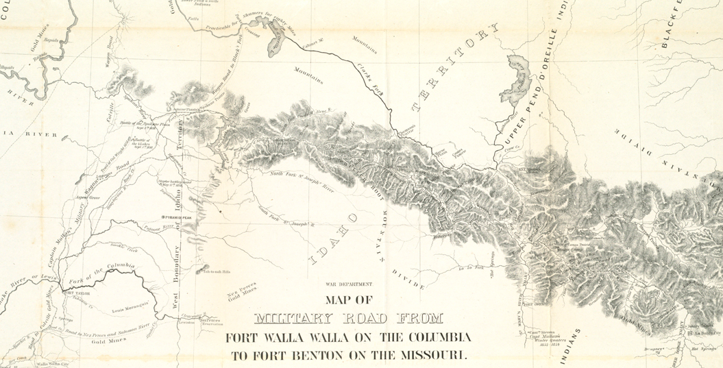
The Idaho Historical Maps Collection is a digital collection comprised of 9 historical maps depicting various areas in Idaho and the Pacific Northwest between the years 1863 and 1986. The variety of maps in this collection are a small sample of the maps held in the University of Idaho Library Cartographic Collection. The particular items in this digital collection were scanned and made available online when this was still a fairly new thing to do—the Idaho Snow Loads map is popular with architects and engineers and was frequently requested before the interactive version became available. The older regional and industrial maps were digitized for preservation purposes.
Technical Credits - CollectionBuilder
This digital collection is built with CollectionBuilder, an open source framework for creating digital collection and exhibit websites that is developed by faculty librarians at the University of Idaho Library following the Lib-Static methodology.
Using the CollectionBuilder-CSV template and the static website generator Jekyll, this project creates an engaging interface to explore driven by metadata.

