PDF
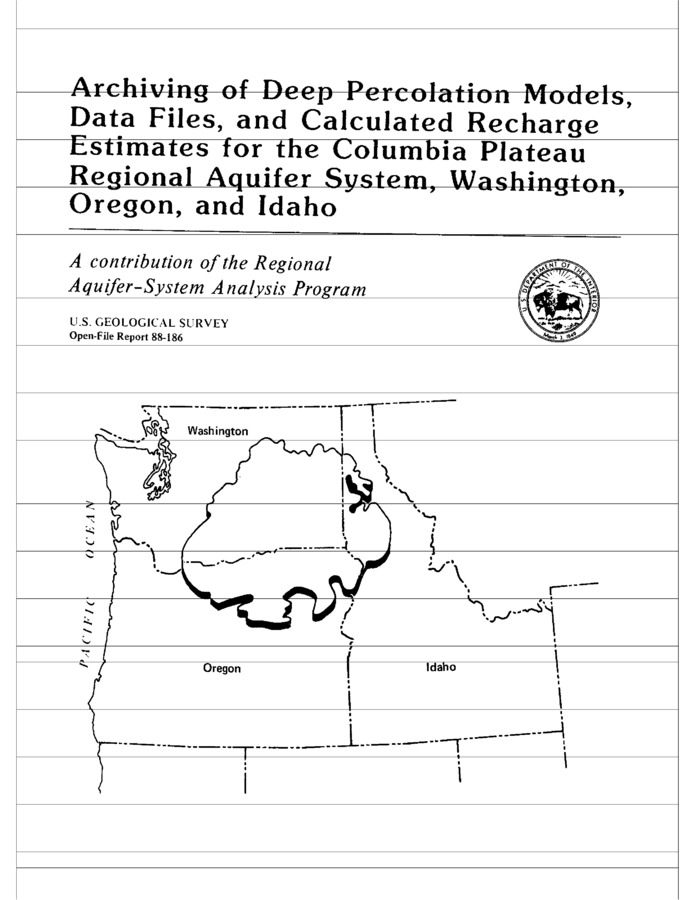
Archiving of deep percolation models, data files, and calculated recharge estimates for the Columbia Plateau regional aquifer system, Washington, Oregon, and Idaho. U.S. Geological Survey Open-file report 88-186 Item Info
- Title:
- Archiving of deep percolation models, data files, and calculated recharge estimates for the Columbia Plateau regional aquifer system, Washington, Oregon, and Idaho. U.S. Geological Survey Open-file report 88-186
- Authors:
- Vaccaro, J. J.; Bauer, H. H.
- Contributors:
- Idaho Water Resources Research Institute; IWRRI
- Date:
- 1990
- Description:
- The document describes the archiving of computer files used in the deep percolation numerical model employed to estimate recharge to the Columbia River Plateau regional aquifer system in Washington, Oregon, and Idaho.
- Subjects:
- deep percolation model studies estimating groundwater recharge
- Location:
- Columbia Basalt
- Idaho County:
- Adams County
- Latitude:
- 46.96
- Longitude:
- -118.08
- Collection:
- Palouse Basin
- Source:
- US Geological Survey Open File Report 88-186
- Publisher:
- US Geological Survey Open File Report 88-186
- Contributing Institution:
- University of Idaho
- Type:
- Text
- Format:
- application/pdf
- Cataloger:
- wbv
- Date Digitized:
- 2012
- Language:
- eng
Source
- Preferred Citation:
- "Archiving of deep percolation models, data files, and calculated recharge estimates for the Columbia Plateau regional aquifer system, Washington, Oregon, and Idaho. U.S. Geological Survey Open-file report 88-186", Idaho Waters Digital Library, University of Idaho Library Digital Collections, https://www.lib.uidaho.edu/digital/iwdl/items/iwdl-1990_vaccaro_bauer_archiving_of_deep.html
Rights
- Rights:
- In copyright, educational use permitted. Educational use includes non-commercial reproduction of text and images in materials for teaching and research purposes. For other contexts beyond fair use, including digital reproduction, please contact the University of Idaho Library Special Collections and Archives Department at libspec@uidaho.edu. The University of Idaho Library is not liable for any violations of the law by users.
- Standardized Rights:
- http://rightsstatements.org/vocab/InC-EDU/1.0/

