PDF
Estimation of groundwater contribution from the south side of the Snake River, Milner to King Hill, Eastern Snake Plain Aquifer Model Version 2. ESPAM2 design document DDW-V2-15 Item Info
- Title:
- Estimation of groundwater contribution from the south side of the Snake River, Milner to King Hill, Eastern Snake Plain Aquifer Model Version 2. ESPAM2 design document DDW-V2-15
- Authors:
- Sukow, Jennifer
- Date:
- 2011-12-28
- Description:
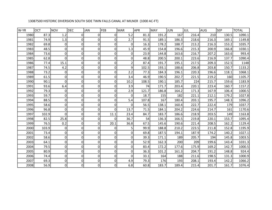
- Appendix A to: Sukow (2011), Estimation of groundwater contribution
- Subjects:
- aquifers computer models groundwater flow
- Location:
- Eastern Snake Plain Aquifer; Southern Idaho
- Idaho County:
- Elmore County
- Latitude:
- 42.52
- Longitude:
- -114.01
- Additional Lat-Long:
- 43.00, -115.20
- Collection:
- Boise Basin
- Series:
- ESPAM2
- Source:
- Idaho Department of Water Resources
- Publisher:
- Idaho Department of Water Resources
- Contributing Institution:
- IDWR
- Type:
- Text
- Format:
- application/pdf
- Cataloger:
- KIT
- Language:
- eng
Source
- Preferred Citation:
- "Estimation of groundwater contribution from the south side of the Snake River, Milner to King Hill, Eastern Snake Plain Aquifer Model Version 2. ESPAM2 design document DDW-V2-15", Idaho Waters Digital Library, University of Idaho Library Digital Collections, https://www.lib.uidaho.edu/digital/iwdl/items/iwdl-southside_gw_contribution_app_a.html
Rights
- Rights:
- In copyright, educational use permitted. Educational use includes non-commercial reproduction of text and images in materials for teaching and research purposes. For other contexts beyond fair use, including digital reproduction, please contact the University of Idaho Library Special Collections and Archives Department at libspec@uidaho.edu. The University of Idaho Library is not liable for any violations of the law by users.
- Standardized Rights:
- http://rightsstatements.org/vocab/InC-EDU/1.0/

