
IMAGE
Photo of Linden/Gold Hill map section Item Info
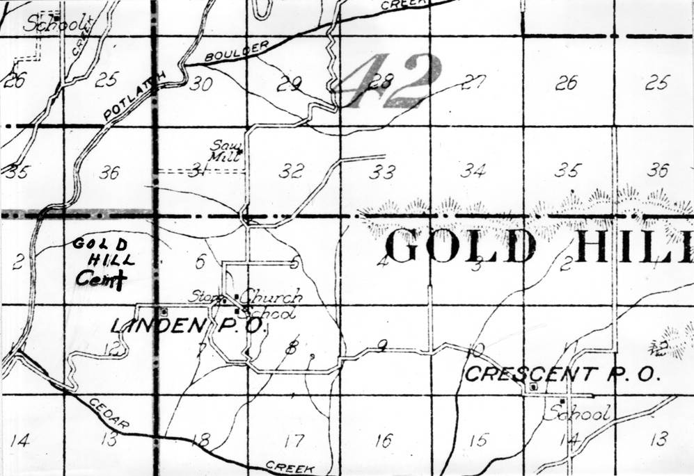
- Title:
- Photo of Linden/Gold Hill map section
- Date Created (ISO Standard):
- 1973
- Description:
- Photo of map section of Linden/Gold Hill
- Subjects:
- maps
- Location:
- Latah County, Idaho
- Latitude:
- 46.658354
- Longitude:
- -116.50383
- Source:
- PG 90, Clifford M. Ott Collection, University of Idaho Library Special Collections and Archives, http://www.lib.uidaho.edu/special-collections/
- Source Identifier:
- 90-05-106
- Type:
- Image;StillImage
- Original Format:
- Black and white prints
- Format:
- image/jpeg
- Language:
- eng
U of I Digital Collections contain unique digitized and born digital archival materials in a variety of formats. The Library is committed to ensuring our resources are accessible to all users. Please contact us if you need support accessing or using this archived content.
Contact us about this record Library HelpAttribution
- Citation:
- "Photo of Linden/Gold Hill map section", Ott Historical Photograph Collection, University of Idaho Library Digital Collections, https://www.lib.uidaho.edu/digital/ott/items/ott824.html
Rights
- Rights:
- Educational use includes non-commercial use of text and images in materials for teaching and research purposes. Digital reproduction rights granted University of Idaho Library. For other uses beyond free use, please contact University of Idaho Library Special Collections and Archives Department at libspec@uidaho.edu.
- Standardized Rights:
- http://rightsstatements.org/vocab/InC-EDU/1.0/