
IMAGE
Mapping the forest [02] Item Info
- Title:
- Mapping the forest [02]
- Date Created (ISO Standard):
- 1966
- Description:
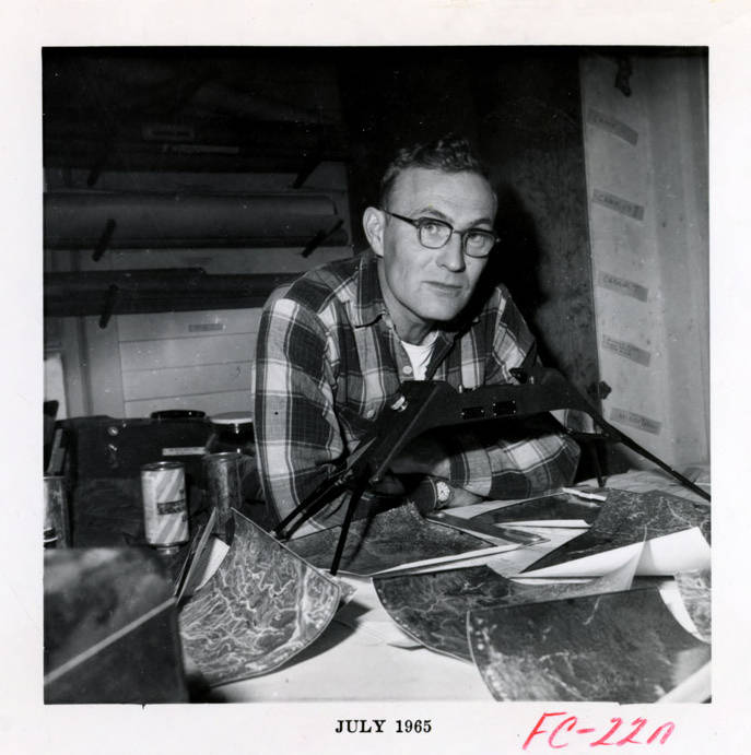
- A forest researcher uses a stereoscope and aerial photographs to help study the forests
- Subjects:
- stereoscopes
- Location:
- Benewah County, Idaho
- Idaho County:
- Benewah County
- Latitude:
- 47.111849
- Longitude:
- -116.61547
- Source:
- Potlatch Corporation Historical Archives, 1900-2007, MG 457, University of Idaho Special Collections and Archives
- Source Identifier:
- 457_202_30_018
- Type:
- image;stillimage
- Format:
- image/jpeg
- Language:
- eng
U of I Digital Collections contain unique digitized and born digital archival materials in a variety of formats. The Library is committed to ensuring our resources are accessible to all users. Please contact us if you need support accessing or using this archived content.
Contact us about this record Library HelpAttribution
- Citation:
- "Mapping the forest [02]", Potlatch Lumber Company Photograph Collection, University of Idaho Library Digital Collections, https://www.lib.uidaho.edu/digital/plcphotos/items/plcphotos1404.html
Rights
- Rights:
- In copyright, educational use permitted. Educational use includes non-commercial reproduction of text and images in materials for teaching and research purposes. For other contexts beyond fair use, including digital reproduction, please contact the University of Idaho Library Special Collections and Archives Department at libspec@uidaho.edu. The University of Idaho Library is not liable for any violations of the law by users.
- Standardized Rights:
- http://rightsstatements.org/vocab/InC-EDU/1.0/