
PDF
Use of Satellite Imagery for Classifying and Monitoring Rangelands in Southern Idaho Item Info
- Title:
- Use of Satellite Imagery for Classifying and Monitoring Rangelands in Southern Idaho
- Authors:
- Hironaka, M. Tisdale, E.W. Fosberg, M.A.
- Date Created:
- 1976-02-01
- Description:
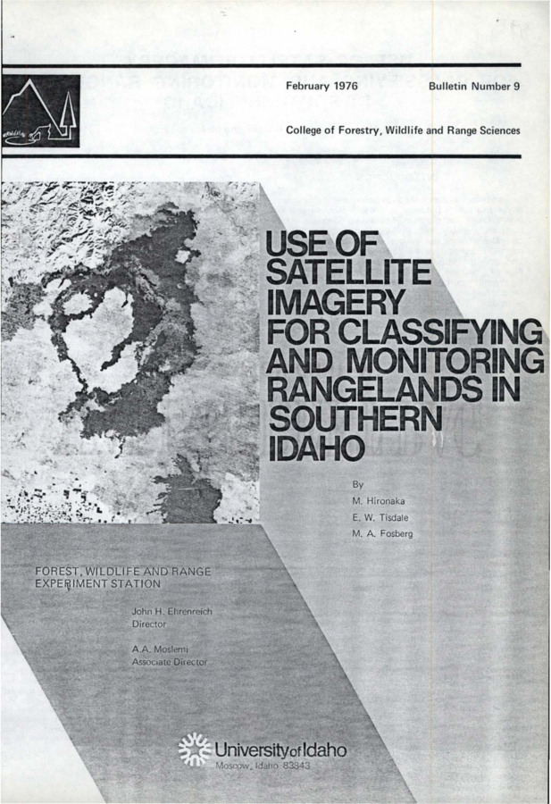
- The bulletin evaluates Earth Resources Technology Satellite (ERTS) imagery as a tool for classification of range and associated lands and for monitoring and planning land use.
- Relation:
- Bulletin Number 9
- Subjects:
- rangelands Landsat
- Source:
- Idaho SD12.I2 B8, University of Idaho Library Special Collections and Archives, http://www.lib.uidaho.edu/special-collections/
- Source Identifier:
- uifwre-b09
- Type:
- Text
- Format:
- application/pdf
U of I Digital Collections contain unique digitized and born digital archival materials in a variety of formats. The Library is committed to ensuring our resources are accessible to all users. Please contact us if you need support accessing or using this archived content.
Contact us about this record Library HelpAttribution
- Citation:
- "Use of Satellite Imagery for Classifying and Monitoring Rangelands in Southern Idaho", Idaho Forest, Wildlife, and Range Experiment Station Collection, University of Idaho Library Digital Collections, https://www.lib.uidaho.edu/digital/fwres/items/fwres100.html
Rights
- Rights:
- Educational use includes non-commercial use of text and images in materials for teaching and research purposes. Digital reproduction permissions granted by the University of Idaho Library. For other uses beyond free use, please contact University of Idaho Library Special Collections and Archives Department at libspec@uidaho.edu.
- Standardized Rights:
- http://rightsstatements.org/vocab/InC-EDU/1.0/