IMAGE
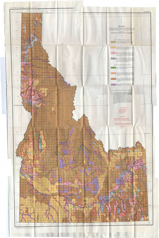
Idaho Generalized Classification of Land According to its Capability for Use Item Info
- Title:
- Idaho Generalized Classification of Land According to its Capability for Use
- Date Created (ISO Standard):
- 1951
- Description:
- Map depicting soil capability by use. Color coded by class, Classes I-IV being suited for cultivation (Class I being best suited) and Classes V-VII being not suited (Class V being best suited for grazing and Class VII being not suited for cultivation, grazing, or forestry).
- Coverage:
- Idaho
- Source:
- UI Agricultural Experiment Station Bulletin No. 286, June, 1951
- Source Identifier:
- uica_b286map
- Type:
- Image;StillImage
- Format:
- image/jpeg
Source
- Preferred Citation:
- "Idaho Generalized Classification of Land According to its Capability for Use", Idaho Historical Maps Collection, University of Idaho Library Digital Collections, https://www.lib.uidaho.edu/digital/historicalmaps/items/spec_hm3.html
Rights
- Rights:
- Material determined to be in Public Domain based on date of publication. Material made available by the University of Idaho Library. For more information, please contact University of Idaho Library Special Collections and Archives Department at libspec@uidaho.edu.
- Standardized Rights:
- https://creativecommons.org/publicdomain/mark/1.0/

