
IMAGE
Map, Heyburn State Park, 1935-36 Item Info
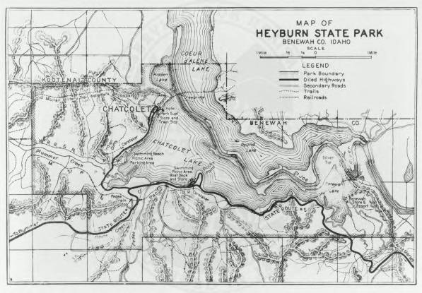
- Title:
- Map, Heyburn State Park, 1935-36
- CCC Camp Number:
- SP-1
- Creator:
- Idaho Department of Transportation
- Date Created:
- 1936-01-01
- Approximated Date:
- y
- Description:
- A 1935-36 map of Heyburn State Park, including terrain and labels
- Subjects:
- Heyburn State Park map campgrounds
- Location:
- Kootenai County; Heyburn State Park; Lake Chatcolet
- Idaho County:
- Kootenai County
- Latitude:
- 47.362341
- Longitude:
- -116.782218
- Source:
- Idaho State Historical Society
- Contributing Institution:
- Idaho State Historical Society
- Source Identifier:
- Identifier80
- Original Format:
- map
- Type:
- Image;StillImage
- Format:
- image/jpeg
- Language:
- eng
U of I Digital Collections contain unique digitized and born digital archival materials in a variety of formats. The Library is committed to ensuring our resources are accessible to all users. Please contact us if you need support accessing or using this archived content.
Contact us about this record Library HelpAttribution
- Citation:
- "Map, Heyburn State Park, 1935-36", Civilian Conservation Corps in Idaho Collection, University of Idaho Library Digital Collections, https://www.lib.uidaho.edu/digital/cccidaho/items/cccidaho1741.html
Rights
- Rights:
- In Copyright - Educational Use Permitted. Please note these materials are not held by University of Idaho Library Special Collections and Archives. For more information, please contact the institution listed in the Source.
- Standardized Rights:
- http://rightsstatements.org/vocab/InC-EDU/1.0/