
IMAGE
Anemometer to determine wind velocity Item Info
- Title:
- Anemometer to determine wind velocity
- Photographer:
- Swan, Kenneth D. (Kenneth Dupee), 1887-1970
- Date Created (ISO Standard):
- 1935
- Description:
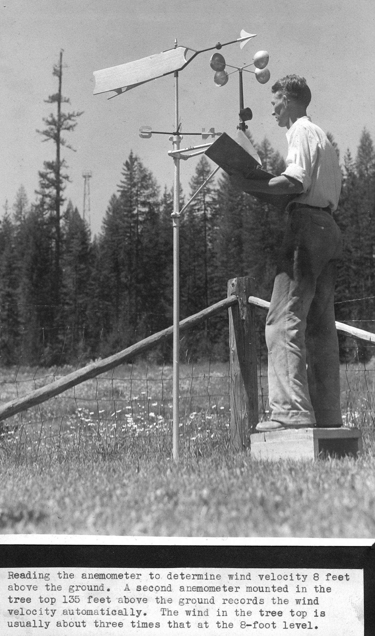
- G. Lloyd Hayes reading the anemometer to determine wind velocity 8 feet above the ground. A second anemometer mounted in the tree top 135 feet above the ground records the wind velocity automatically. The wind in the tree top is usually about three times that at the 8-foot level.
- Location:
- Kootenai County, Idaho
- Idaho County:
- Kootenai County
- Features:
- Deception Creek Experimental Forest Demorest Creek
- Latitude:
- 48.35111111
- Longitude:
- -116.8355556
- Moscow Number:
- 3040
- Source:
- The sources for the photos in this collection were as follows: Priest River Experimental Forest, Moscow Foresty Sciences Lab, USDA-Forest Service Region 1 archive, University of Montana Library Gisborne Collection, and Ms. Susan Marsh
- Source Identifier:
- FireAlbum25
- Type:
- Image;StillImage
- Format:
- image/jpeg
U of I Digital Collections contain unique digitized and born digital archival materials in a variety of formats. The Library is committed to ensuring our resources are accessible to all users. Please contact us if you need support accessing or using this archived content.
Contact us about this record Library HelpAttribution
- Citation:
- "Anemometer to determine wind velocity", Experimental Forest and Savenac Nursery Archive, University of Idaho Library Digital Collections, https://www.lib.uidaho.edu/digital/expforest/items/expforsav355.html
Rights
- Rights:
- Material produced by the United States Forest Service and is in Public Domain. For more information, please contact University of Idaho Library Special Collections and Archives Department at libspec@uidaho.edu.
- Standardized Rights:
- https://creativecommons.org/publicdomain/mark/1.0/